Sunday, 4 August 2013

Leg 8 - East Ardsely to Needless Inn, Morley - 27th July

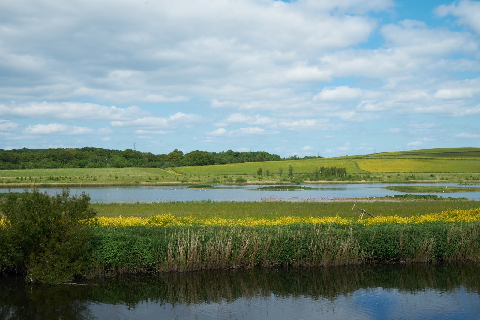
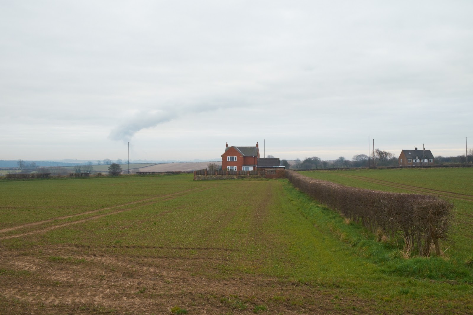
The difference between the seventh and eighth legs of the walk couldn't have stood in brighter contrast if they tried. If the word for leg 7 was uninspiring, then the word to describe leg 8 was dramatic. Part of this I think was due to the impending rain storm that hovered above us for large chunks of the walk but part of it was finally getting back into some open countryside and the views out over South Leeds in the last mile or so of the walk were some of the best that we've seen so far.

The paths leaves the pretty town of East Ardsley fairly quickly and runs between two fences for half a mile or so down between various fields. Tall trees grow close to the fence offering some well needed shade and after the confusion of the last leg it was a relief to have the route so clearly laid out in front of us. The steepness of the hill also meant that views out over the rest of Leeds were becoming more frequent. A slight moment of panic ensued when the instructions told us to turn right into a field which was full of cows, but after adopting the correct position for trying to catch wild animals (we failed, sadly) we passed by them with no incidents


You come out onto Blind Lane which takes you past a whole line of farms and agricultural factories, inlcuding Leafield, which even after having read the sign a few times, I'm still not quite sure what goes in and what comes out of the factory...and I'm not sure that I want to know! After the farms came some of my favourite scenery so far, rolling hills and hedgerows as far as the eye could see, something that I will miss when I leave England behind.


Passing over Hey Beck in amongst some quiet woods and tall hedgerows, we found one of those secret places that childhoods are made of and that make all of the unpleasant parts of the LCW all worthwhile. The sun dappled rocks and gentle sussurations of the water over roots made me want to bring Jake back here with a picnic as the walk there is worth repeating.


Emerging from the countryside, the route picks up a road for a short while, and after crossing over into farmland, an important land mark was reached. We'd not thought about the walk as a circle before, but I realised that as the way turns right alongside a wooded beck, we'd reached the most southerly point of the route and we stopped for a minute to celebrate, before turning east and north again under ever darkening clouds.


When the route brings you out into the far end of West Ardsley, it takes a while to work out the precise instructions after crossing the A653, but again with the smart phone and Leeds OS map to hand, we were able to navigate a long thin path through tall brambles alongside a disused railway line.

The last mile or so of the route is probably my favourite so far. You climb a gentle hill and rewarded with gorgeous views, a hill that drops steeply away and the ruins of Howley Hall. The paths are clearly marked and are well used by other walkers, but the openness and colours felt like a just reward for the long walk. After stopping to drink it all in, we descended the hill and onto to Scotchman Lane, ready for the next leg in a month's time.


Total distance = 5.5 miles
Total time = 2 hours 15 minutes
Cumulative distance = 41 miles
Cumulative time = 20 hours 30 minutes

Leg 7 - Swithen's Farm to East Ardsley - 27th July

A combination of another month or so of misaligned weekends and holidays and my wife going back home with Jake for 10 days meant that Matt and I decided to make a real push today on the walk, managing to walk 10 miles and completing two legs in one day. Whilst we might not walk again till September, we're now back on track at one walk a month (on average!).

Leg 7 was distinctly uninspiring. There comes a point after the third walk through farms near the motorway that the rolling hills and scenery of the first few legs seems like a different country. We started off at Swithen's Farm bright and early with the intention of making a pub for lunch as a reward for 10 miles worth of walking. We instantly ran into problems as we had moved onto the third sheet of the walk, but had finished just before the end of the second. Taking a guess as to which footpath to follow, we ended up in the wrong end of Carlton, and were only saved by Matt's phone and some logical reasoning about where leg 7 was meant to start.

The route quickly leaves the village, but the author of this leg tended to use 10 words when one would suffice and those 10 words weren't always the most accurate. Admittedly, the route is sometimes indistinct, cutting across agricultural fields and will and sometimes just being little more than a game trail alongside a hedge.


Fortunately, the weather was warm, we were in no particular rush and there's a certain amount of pride at having decoding some poor directions and realising that you're on the right track again. We came out the farm land near Robin Hood and crossed under the M1 and into more farmland. The route is here is not clear, possibly due to the growth in the fields but also the instructions give little or no help. Fortunately, the smart phone with the Leeds OS map came to our rescue and after a few false starts, we were back on track. After crossing the M62 (via a disgusting tunnel), the instructions showed their age when where there should have been a pleasant stroll along Dolphin Beck, there was a now a new shiny housing estate. I guess it must be nice to have views out over the hills, but the lack of trees and the cookie cutter nature of the houses made me feel a little creeped out and we were pleased to get back on the Way by the Nook Pub. 


The route then curves away into fields and we stopped for coffee in one of the few places with a decent view. The last part of the leg takes you through what felt like the corn fields from Gladiator (cue a small photo shoot) before spitting you out into East Ardsley. We took a photo here to demarcate the end of one leg and the start of another, and realised that this would have been a great series to have done after each leg. Next time round perhaps. 


Total distance = 5 miles
Total time = 2.5 hours
Cumulative distance = 35.5 miles
Cumulative time = 18 hours 15 minutes

Sunday, 7 July 2013

Leg 6 - Methely to Swithen's Farm - 7th July

Up until this point, we were roughly on track for one walk a month. I had jokingly said at the start that we'd give ourselves a year to do all 12 legs, and having done three by mid-February, I thought we'd be done by the summer holidays. Today, however, saw us get to the halfway point with less than half the year to go. We should fit it all in, but with a run of weekends away and holidays coming up, there may be more autumn and winter walks than we had anticipated.

Today was easily the hottest day of the year so far, and given that both of us melt horribly in the heat, we decided to make an early (8am on a Sunday!) start to get the most of the cool temperatures. I'm pleased that we did, as when we stopped at the end, I think I would have collapsed if someone had told me to go and walk another 5 miles. Fortunately, we'd both brought plenty of liquid and after a thick layer of factor 50 sunscreen all round, we set off in the beautiful sunshine.

The main image in my head from today is big fields of plants and flowers. After leaving Methley, which is suprisingly pretty in places, we picked up a track between massive fields of (something...need to research here!) which was interspersed with sharp red poppies. Matt is red-green colour blind and so needed some prompting to take pictures as they didn't appear to "pop" to him as they did to me. Hopefully the pictures will come out looking great! We walked slowly here, enjoying the views.


The route then twists and turns along some roads and some pretty cottages before bringing you out on the edge of Moss Carr Wood. Again, on the left were massive fields with lovely open views and on the right were the woods, a tangled mass of trees, brambles and flowers. Sadly, you can't get in there as we were ready for a drink.


We at this point got into a long discussion about sex education in schools, completely forgetting that we had no idea where we were and the next instruction to follow. It was only when we came across a farm, with a view down to the path of a bridge over the M62 that we figured we'd missed something as the instructions usually tell you about buildings you pass. We really realised this when we walked past the llama enclosure and the animals came out to see what we were doing. I love llamas, from their gawky legs to their comedy toupees and Jake sat and giggled at them during a photoshoot.


We sat for drinks and snacks (Jake inhaled a banana and then proceeded to smear the excess all over my shirt...maybe I need spares for me as well as Jake!) in the shade of a tree outside the farm house and with the sun gently warming the air, life was pretty perfect. We backtracked and eventually worked out that a "path junction" actually meant a right turn between rocks along the side of a field, a time when the instructions could do with being a little clearer! Eventually, we worked out where we needed to be (a bit of compass work and "this looks like a narrow field to me, how about you?" guess work!) and crossed a field and down a path with nettles on one side and thorn bushes on the other. After trying to manouevre slowly and carefully and failing miserably, I figured my best shot was to go quickly, avoid the nettles and give Jake his pacifier when he started to cry. He only came out with a small scratch on his face so we feel it was worth it.

The rest of the walk was along metalled roads, past Royds School (the first place that I've recognised from my days working across South Leeds!) and on to Swithern's Farm, which has the longest approach road known to man. However, when we got there, we found a farm shop with a play park and a horse show, and given that we were less than half a mile from the intended end point, and the sun starting to really beat down, we decided to call it a day there so we could have ice cream and coffee and buy some fantastic sausages for a barbecue (pork and black pudding in some, caramelised onion and cracked black peppers in other). This also means we can eat pie there before starting the second half of the walk


Total distance = 4.5 miles (not including getting lost!)
Total time = 2 hours 30 mins
Cumulative distance = 30.5 miles
Cumulative time = 15 hours 45 mins

Leg 5 - Garforth to Methley - 16th June

So this was the walk that was a long time in coming. Having written the last post with the expectation of doing the walk the next day, it was almost 3 months before we managed to combine both of us being in Leeds and some nice walking weather to get out.

For this route, we looked at the end point according to the LCW which drops you off at a fuel depot in the middle of nowhere. As we had decided to be clever and leave a car at the end point, we decided to add a bit of leg 6 so we could leave the car somewhere safe. This was well and good until we found that the nearest town to park was Methley, a mile or so into the next leg, so this part, already 5.5 miles long, has become the longest walk we had done so far.

Having finished with a depressing walk through Garforth at the end of leg 4, we quickly left the town behind, coming off the main road and under a rail pass

 into possibly the most beautiful part of the walk so far (pictures will be added posthumously to this blog!). The path is an old disused railway line that passes through tall banks of bluebells. Off to the sides are intriguing paths and loops through the trees and at various points the ground falls away for views down into little valleys and across fields.


The path eventually comes to a crossroads and you can tell the popularity of that stretch by the number of runners, cyclists and dog walkers who went past us in both directions. We turned right and the scenery continued to impress as the path curled round a small wooded area with high hedges making you feel truly out of the city.


We then came to a working farm, with the usual feeling of awe at the enormous building and excitement that comes from seeing it all in action, but these feelings were soon blown away by my dream house. It's a true English cottage, complete with climbing wisteria, a covered archway and beautifully manicured lawns. The pictures will do it more justice, but the thought of sitting in the big stone kitchen with light streaming through the latticed window made me want to make an offer right there. One can only dream.


The path then becomes a little tricky to follow, but goes between a series of fields and hedges tall than me, giving the whole walk an adventurous air. At this point, we started discussing a star rating system for the walks, with this one getting the full 5 stars. It will be hard to do this properly until we've seen all 12 legs, but we wanted to highlight just how good this part of the walk was.

We stopped for a coffee and a melted chocolate bar at the Mount Pleasant Picnic Site, a quiet field with views out over Leeds and some lovely tall grass for Jake to play in. I would happily walk this section repeatedly, especially with the weather as good as it was.


From there, the instructions and the route began to decline. We spent a little while getting lost near a main road and eventually resorted to Google Maps to work out how we could make the two parts of the walk meet up. We eventually found out where the route should have brought us out, and were very glad that we'd taken the long route. It was completely impassable with brambles and nettles almost at face height!

We followed the road down in Little Preston and followed the metalled road for over half a mile which feels like a long time when you're used to walking on footpaths. We followed Old Coach Road through some pretty overhanging trees and picked up the River Aire just after Swillington Bridge. It's a strange feeling to cross the river at that point, knowing that we won't cross back over for another 6 legs when the river is much smaller and windier.


I was looking forward to walking alongside the river but the path is quite far from the water and fairly open meaning that you lose the feeling of a river walk and made it feel more like a canal. When we reached the fuel depot, I realised that I could have left the car quite happily, but also sort of glad that we didn't. In retrospect, it would have been a good idea as it was a long slog into Methley.


We walked near the canal from the depot but got confused by the map and signage and ended coming off about half a mile too early into the back of Methley on Station Road. At this point it was getting hot, Jake was falling asleep and we had about three quarters of a mile walk along a boring road back to the car. I think a combination of the heat, an extra mile through uninspiring streets and Jake's extra weight made for a disappointing end to what had started off as my favourite part of the LCW.

Total distance = 6.5 miles
Total time = 3 hours 30 mins
Cumulative distance = 26 miles
Cumulative time = 13 hours 15 mins

Friday, 26 April 2013

Leg 4 - Barwick-in-Elmet to Garforth - 17th March

I write this blog on the eve of our next walk more under duress for trying maintain the chronological order of the walk rather than any desire to talk about the walk. The route is easily the least inspiring part of the walk that we've done so far as we were never far from the M1 and part of me feels that we might have been spoiled by the quietness of North East Leeds. The further south we go, we start to run into the slow urban sprawl that grows like fingers out from the river Aire towards Sheffield, encompassing Wakefield, Rothwell and Morley amongst other places. Trying to find a countryside route through these areas must have been tough, and I think that we'll find less of the quiet farmland that has been the mainstay of our walks so far.


So the walk. There are no pictures yet as Matt hasn't found them yet, and to be fair, the weather did nothing to improve the quality of the walk. It was cold and grey, the kind of grey where you feel like you're walking under a flat sheet of metal with no bursts of sunlight or layers of different shades to break the monotony.


We picked up where we left off in Barwick-in-Elmet, still my favourite place on the walk so far, and headed out of town, making a simple mistake of picking up the main road rather than finding the highlighted back road across the field. In one of the those weird quirks of fate, when I realised that we'd made an error, the very next road on our right led back to the road that we should have been on, saving us having to walk back on ourselves.


The route takes you into Scholes briefly before picking Barnbow Lane, a dirt road that takes you through some fields that I think in sunshine will look more attractive. It's at this point that we became aware of a background roar that smacked of my childhood in Milton Keynes where we lived less than a mile from the M1. It took me a while to work it out, but once I knew it was there, it was hard to ignore it.


The path is flat for most of the walk until you reach Shippen House farm, where it heads up between two fields and over the railway tracks. We had made good time due to the flat and dry walking surfaces and decided to stop for a cup of coffee. It was an interesting place to break, as the view to the north was rolling fields and trees, whilst to the south a steady procession of cars and lorries roared by.


We finally decided to bite the bullet and cross over, and I don't think it's possible to know just how loud vehicles are at 70 mph until you stand on a bridge as they race underneath, or just how well sound proofed modern cars are as you don't notice as you drive! The route then turns sharp left and follows the motorway for a while before bearing right and into Garforth. It's always interesting to see new parts of Leeds and there will always be times when you need to go through urban areas, but I'm looking forward to getting back into the countryside tomorrow

.

Total distance = 5.5 miles
Total time = 3 hours
Cumulative distance = 19.5 miles
Cumulative time = 9 hours 45 mins